What is GIS?
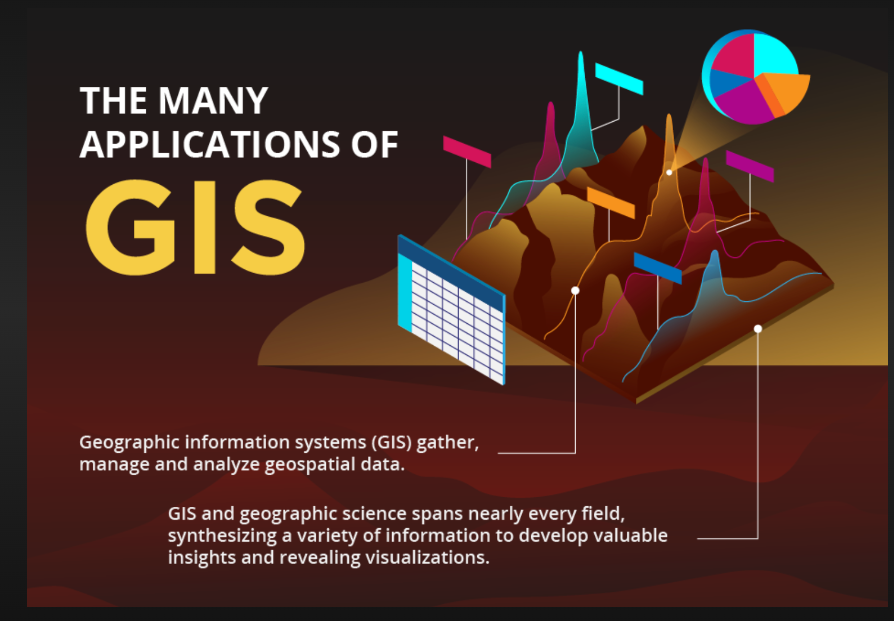
GIS (Geographic Information Systems) is a tool for managing, analyzing, and visualizing geographic data. In earthquake detection, it plays a critical role by: Collecting and Analyzing Seismic Data: Monitors seismic activity to identify potential earthquake zones. Real-Time Monitoring: Maps real-time data to locate epicenters and affected areas. Hazard Mapping: Identifies high-risk zones for future preparedness. Damage Assessment and Response: Assists in post-earthquake rescue and relief efforts. Early Warning and Risk Management: Integrates with early warning systems to predict and mitigate earthquake impacts. GIS helps scientists and emergency responders better understand, predict, and manage earthquake-related risks.

Earthquake Detection
Earthquake detection using GIS involves integrating real-time seismic data from sensors and accelerometers to monitor earth movements. GIS helps by: Real-Time Data Mapping: Maps seismic activity to quickly locate earthquake epicenters. Pattern Analysis: Analyzes historical and current seismic data to identify high-risk zones. Alert Systems: Works with early warning systems to detect abnormal movements and send alerts. Damage Assessment: Visualizes affected areas post-event, guiding emergency response. By combining location data with seismic information, GIS enables effective earthquake detection, warning, and response.